
31.1 miles · ~5,000 ft · 5 aid stations
The course
A lollipop-shaped mountain ultra: 10k out and back on the Interurban Trail, and in between the famous Chuckanut Mountain ridge.
Overview
It’s a classic — don’t ever change it
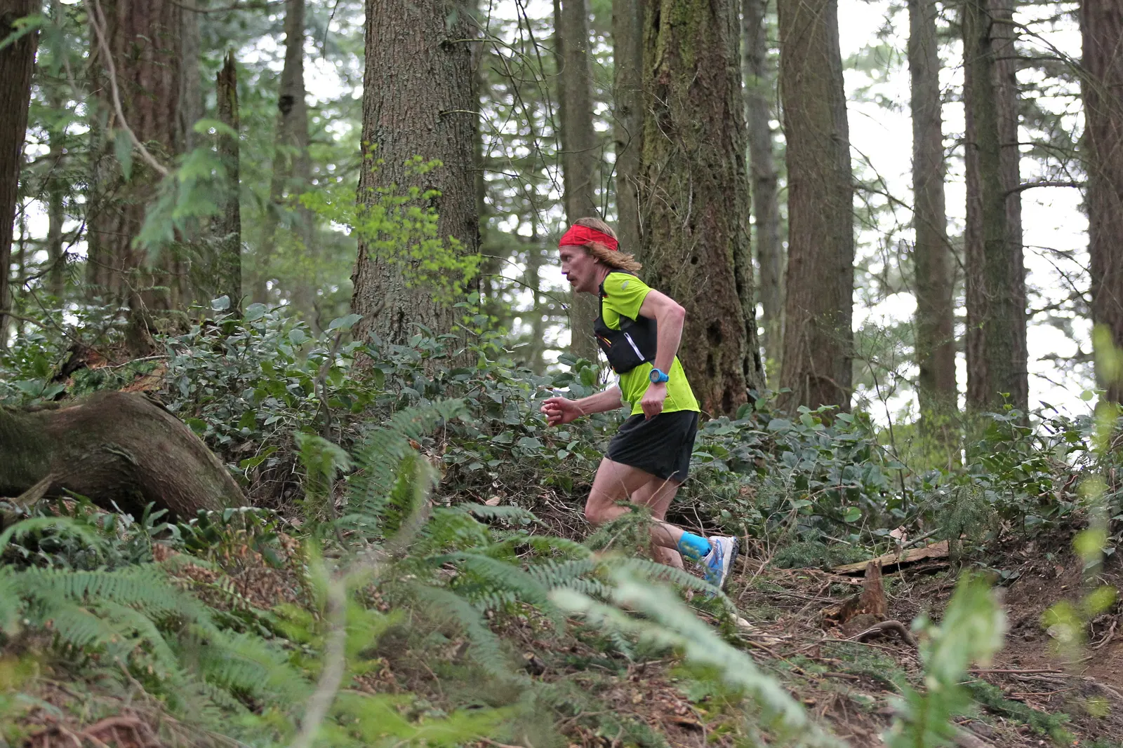
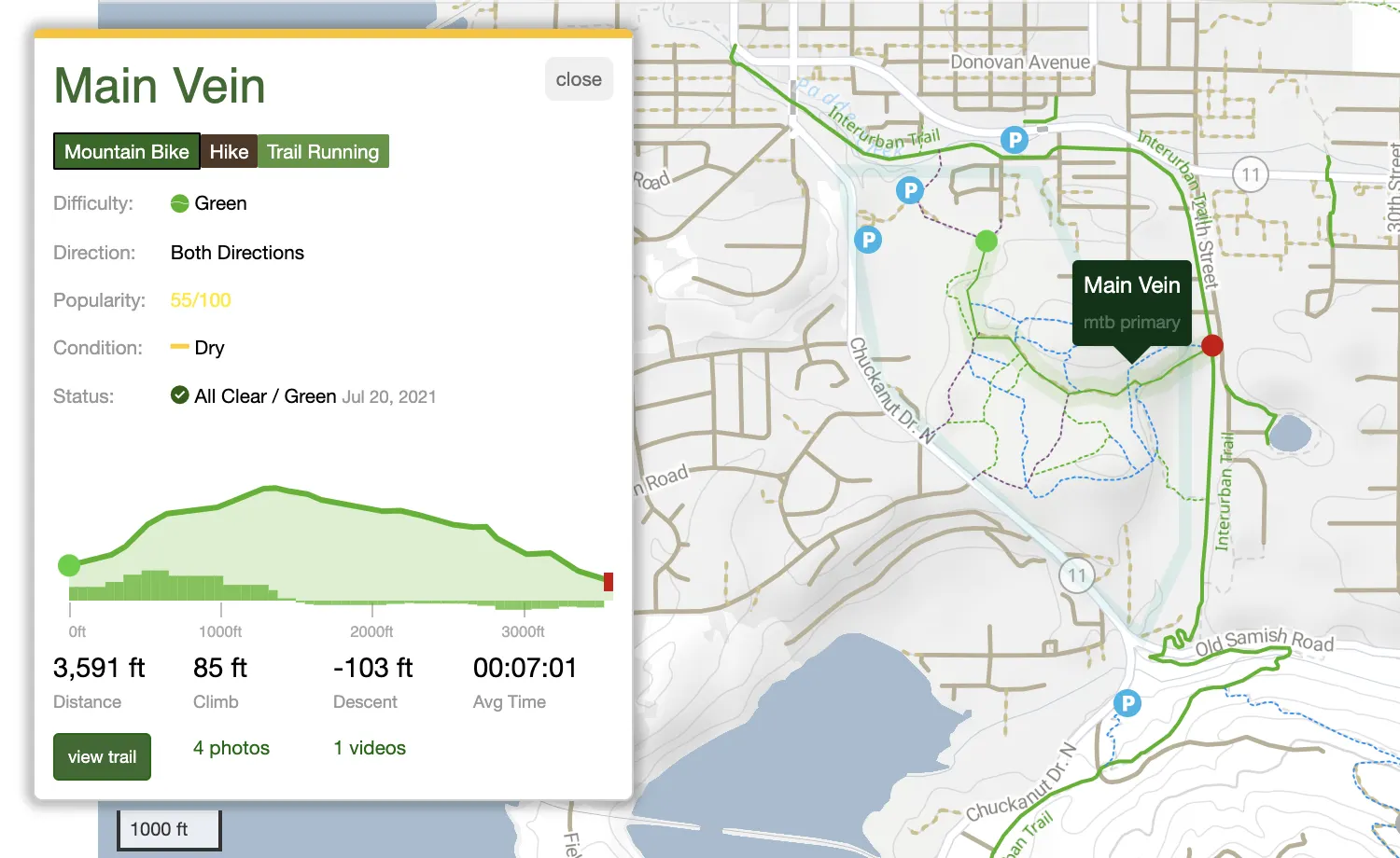
The first 10k and last 10k repeat on the Interurban Trail with smooth, relatively flat running. The middle 30k is what this race is known for: you climb, traverse and descend the famous Chuckanut Mountain ridge amongst beautiful Pacific Northwest terrain.
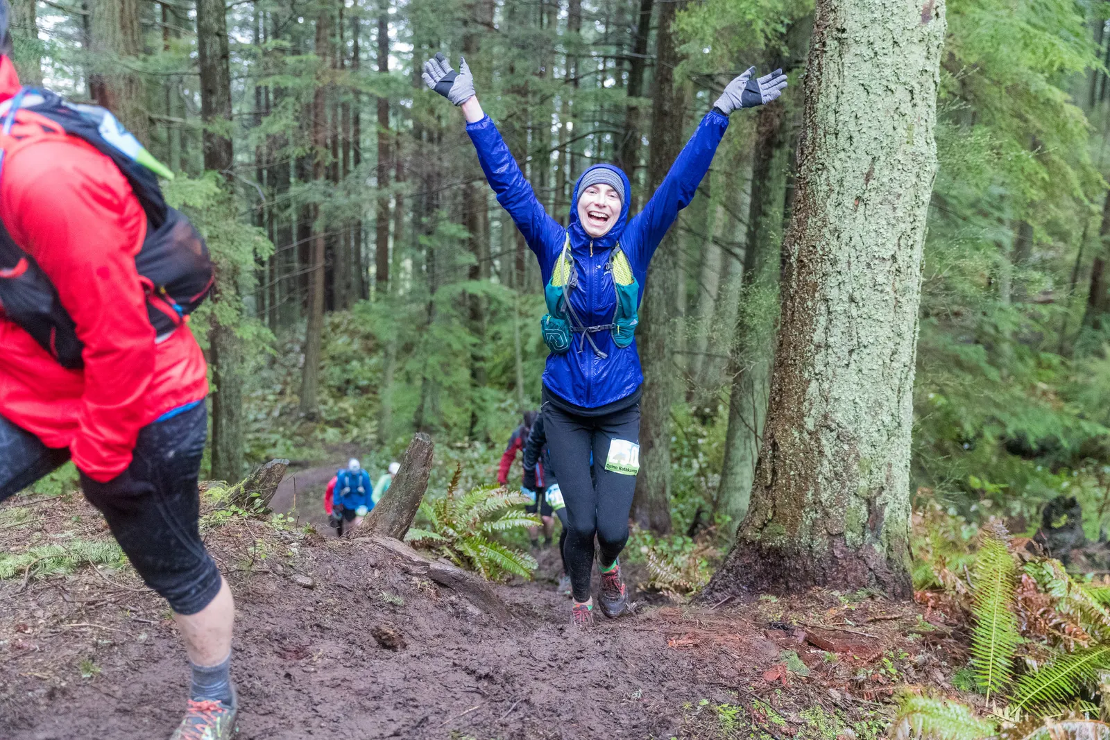
Expect technical trail, mud, long climbs and descents on gravel roads, and weather that can change fast up high. There are five aid stations along the course.
Splits
Aid stations
| Station | Distance | Location | To next |
|---|---|---|---|
| Start | 0 mi / 0 km | Fairhaven Park, upper pavilion | 6.8 mi / 10.9 km |
| Aid 1 | 6.8 mi / 10.9 km | Lost Lake Parking Lot | 4.2 mi |
| Aid 2 | 10.2 mi / 16.4 km | Two Dollar Trailhead on Cleator Rd | 2.8 mi |
| Aid 3 | 13 mi / 20.9 km | Ridge Trail entrance near the top of Cleator Rd | 7.3 mi |
| Aid 4 | 20.3 mi / 32.7 km | Bottom of Chinscraper | 4.7 mi |
| Aid 5 | 25 mi / 40.2 km | Where Fragrance Lake Trail meets the Interurban | 6.1 mi |
| Finish | 31.1 mi / 50 km | Fairhaven Park, upper parking lot | — |
Interactive
Course map
This verified 3D course map was provided free by the team at RunGo. Switch between 3D, terrain, satellite and topo layers, and press play for a flyover. The GPX file is unlocked so you can download it there.
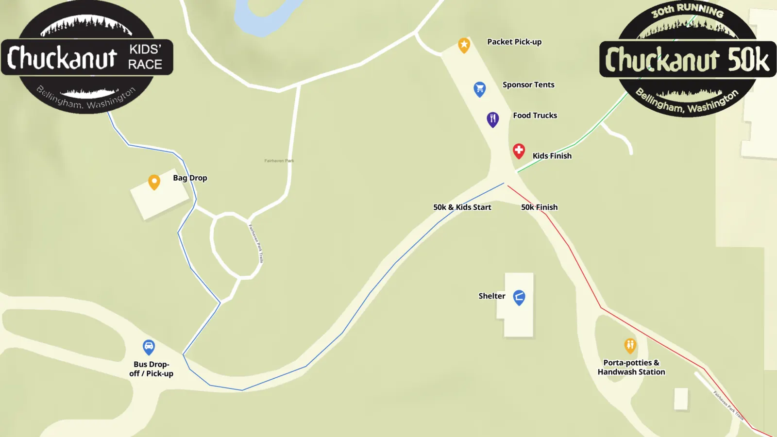
Fairhaven Park, 107 N Chuckanut Drive, Bellingham WA 98225
Start & finish
Preview the trail
Course videos
Full course preview. This video skips the section through Arroyo Park.
Running the Middle 18, March 2, 2024.
Filmed in 2022; also skips Arroyo Park. Around 17:30 the bike goes down California Street instead of through the park like the race course.
Download & train
GPX files
These segments and GPX files were recorded by the race director for our virtual events in 2021 and 2022.
Note on Arroyo Park. The Arroyo bridge was out from 2021–2023, so these GPX files route along Chuckanut Drive instead of through Arroyo Park. As of 2024 the bridge is fixed and the race goes through the park — after crossing Old Samish at the crosswalk, follow the gravel path into Arroyo Park.
The course in 6 segments
1 · Southbound on the Interurban6.7 mi / 10.8 km · +417 ft / −361 ft · Fairhaven Park to Lost Lake Parking Lot
Start by the upper pavilion, run down the road through the park, past the lower pavilion, cross the bridge over the creek and up onto the Interurban — southbound, of course. Continue through Arroyo Park (not included in the GPX) to the Lost Lake Parking Lot.
Download Segment 1 GPX2 · Lost Lake Parking Lot to Two Dollar Trailhead4.2 mi / 6.76 km · +1,184 ft / −751 ft
From the Lost Lake Parking Lot, exit behind the pit toilets onto Fragrance Lake Road. At the bend, turn left through the fence onto the trail that loops around the reservoir until you T with the Interurban; turn right, now northbound. Turn right again through another fence and head up the Fragrance Lake Trail. At the lake, stay right around the lake. After multiple bridged creek crossings turn right on Two Dollar Trail, then right again to stay on the trail and follow it to Cleator Rd.
Download Segment 2 GPX3 · Cleator Burn2.85 mi / 4.6 km · +1,178 ft / −13 ft
From the Two Dollar Trailhead you are headed UPHILL! Straightforward: run to the top of the road. The course turns onto the Ridge Trail just before the actual top, so this segment ends at the Ridge Trail.
Download Segment 3 GPX4 · The Ridge Loop8.69 mi / 14 km · +2,090 ft / −2,090 ft
We suggest following the GPX route especially for this segment. After joining the Ridge Trail, watch your footing and take in the views of Mt. Baker. Turn right on the North Lost Lake Trail, then right on South Lost Lake Trail. Turn right UP Chinscraper (aka Little Black Diamond) at the GATE AHEAD sign — watch for mountain bikers speeding down and follow the hikers’ route up. Aid 4 is at the bottom of Chinscraper.
Continue straight up (don’t take the side trails around); a short steep descent pops you out at the top of Cleator Rd at Cypress overlook — another view worth taking in if the clouds allow. Turn right down the road; the segment finishes where you started, at the entrance to the Ridge Trail.
Download Segment 4 GPX5 · IT Band Blaster2.8 mi / 4.5 km · +43 ft / −1,601 ft
Lots of runners have blasted this section and worked over their IT band, making the last 10k a struggle fest — including the current RD. The segment descends from near the top of Cleator Rd to the bottom of Fragrance Lake Trail on the Interurban. Two key turns from the top of Cleator: the left hairpin onto the upper part of Fragrance Lake Road, and the right turn through the fence onto Fragrance Lake Trail — look for it as the road widens.
Download Segment 5 GPX6 · Northbound on the Interurban6 mi / 9.65 km · +302 ft / −407 ft
This might be the section runners hate the RDs most for. The Interurban was so easy on the way out — how did it get so much harder on the way back? The segment runs from where Fragrance Lake Trail meets the Interurban back to Fairhaven Park. This GPX does not include the trail through Arroyo Park.
Download Segment 6 GPXThe course in 2 segments
Out & back on the Interurban12.29 mi / 19.78 km · +587 ft / −607 ft
Start in Fairhaven Park and follow the route out of the park to run south on the Interurban. Southbound, turn off the Interurban after crossing Old Samish at the crosswalk and follow the gravel path around and into Arroyo Park. After crossing California Street, continue south to the Lost Lake Parking Lot; loop behind the pit toilet building on Fragrance Lake Road and turn left through the fence to continue around the reservoir to the Interurban, then turn right and head back north.
Northbound, after crossing California Street the trail splits — go right, uphill, into Arroyo. (The GPX instead leads left down the switchbacks to the North Chuckanut Trailhead.) Exiting Arroyo, cross Old Samish to continue on the Interurban. Near Fairhaven Park, make the left turn on 18th to sidestep along 100 Acre Woods for the finish.
Download Interurban GPXThe “Middle 18”18 mi / 29 km · +4,495 ft / −4,455 ft
A great training loop any time of year and Bellingham’s go-to tester run. For decades groups have met a couple of weeks before the race for a last long run on it — Bellingham Distance Project has hosted the Chuckanut Casual in recent years.
Start in the Lost Lake Parking Lot, loop behind the pit toilet building on Fragrance Lake Road and turn left through the fence around the reservoir to the Interurban; turn right, head north and turn right on Fragrance Lake Trail. The segment ends where Fragrance Lake Trail meets the Interurban — stop your watch and jog back to the parking lot.
Download Middle 18 GPX